|
|
|
|
|
Preloaded Maps |
|
|
|
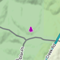
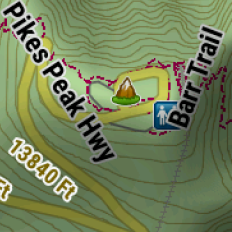
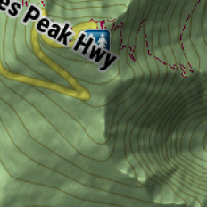
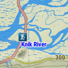
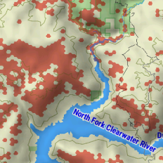
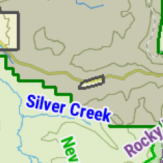
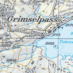
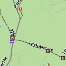
Off Road Maps |
Find the way with turn-by-turn navigation for unpaved roads and trails with content from OpenStreetMap,
U.S. Forest Service Motor Vehicle Use Maps and Adventure Roads and Trails. |
|
|
|
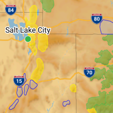
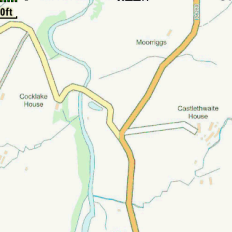
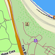
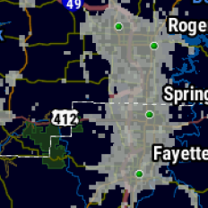
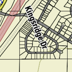
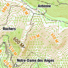
On Road Maps |
When the adventure stays on paved roads, follow them with preloaded City Navigator maps of North America.
|
|
|
|
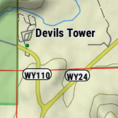
Boundaries |
Access public land boundaries for national forests, Bureau
of Land Management (BLM), wilderness areas, U.S. private land
boundaries and landowner information for parcels greater than 4
acres, and more. |
|
|
|
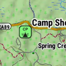
Points of Interest |
Preloaded with iOverlander points of interest and
Ultimate Public Campgrounds, so you don’t need a cell signal to
route to the best-established, wild and dispersed campsites. |
|
|
|
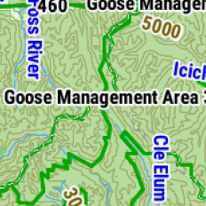
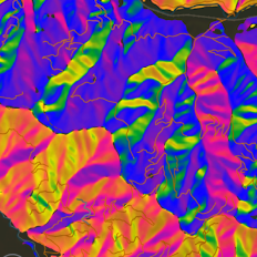
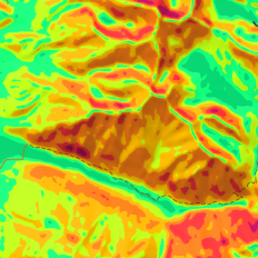
Snowmobile Maps |
Explore with preloaded topographic maps, plus snowmobile-accessible trails and
locations throughout the northern U.S. and all of Canada. |
|
|
|
|
|
|
|
Additional Maps |
| |
- Still want more mapping data displayed on your Tread 2
Powersport, Overland or SxS navigator?
- Additional IMG, KMZ, GPX and GPI maps can be
side loaded to your device as indicated below.
- See
Garmin Map ID for help identifying maps
currently loaded on your Garmin navigator.
|
| |
| Vector Maps (IMG) |
- The Tread 2 can index a maximum of 2,000 total IMG map
files.
- Place desired *.img
maps into the [GPSr]\Internal Storage\Map\ or
[GPSr]\Memory Card\Map\ directories.
- Vector map visibility can be configured in Map Manager >
Manage Device Maps >
Menu >
Installed Maps.
|
| |
| Raster Maps (KMZ) |
- The Tread 2 can index a maximum of 400 total KMZ map
files.
- Place desired *.kmz
maps into the [GPSr]\Internal Storage\Garmin\CustomMaps\ or
[GPSr]\Memory Card\Garmin\CustomMaps\ directories.
- Custom Map visibility can be configured in Map Manager >
Manage Device Maps >
Menu >
Installed Maps.
- See the
Garmin Custom Maps Tutorial to learn
how to create your own KMZ Raster Maps.
|
| |
| XML Maps (GPX) |
- The Tread 2 can index a total of 10,000 waypoints, 2,000
tracks and
100,000 track points, with no limit on the number of routes or
GPX files.
- Place desired *.gpx
maps into the [GPSr]\Internal Storage\GPX\ or
[GPSr]\Memory Card\GPX\ directories.
- GPX routes, tracks and waypoints are available from
associated device menus for each specific content type.
|
| |
| POI Maps (GPI) |
- The Tread 2 can index a total of 90 GPI files, each
containing an unlimited number of POIs.
- Place desired *.gpi
maps into the [GPSr]\Internal Storage\POI\ or
[GPSr]\Memory Card\POI\ directories.
- POI data can be accessed via
Search and Search >
Categories >
Custom POIs.
- See
Create Custom POI to learn how to
create you rown custom POI files.
|
| |
| |
| |
| |