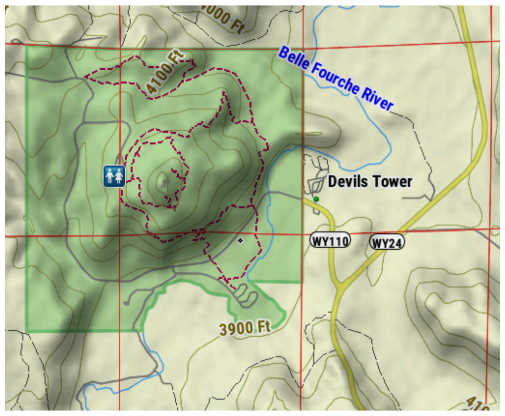
- Displays Bureau of Land Management townships, range and
section information, and USGS quad locations.
- Coverage is available for all 50 U.S. States.
- Topo map content includes multiple layers of map information by state that can be enabled or disabled individually once downloaded. This provides more detail when compared to the TopoActive map that comes pre-loaded on compatible Garmin devices.
