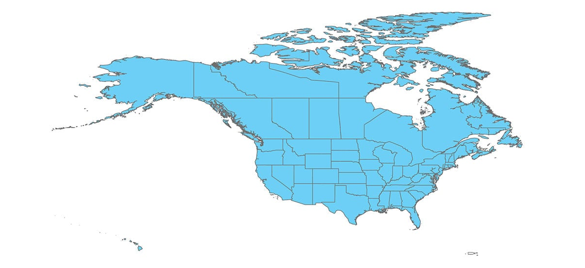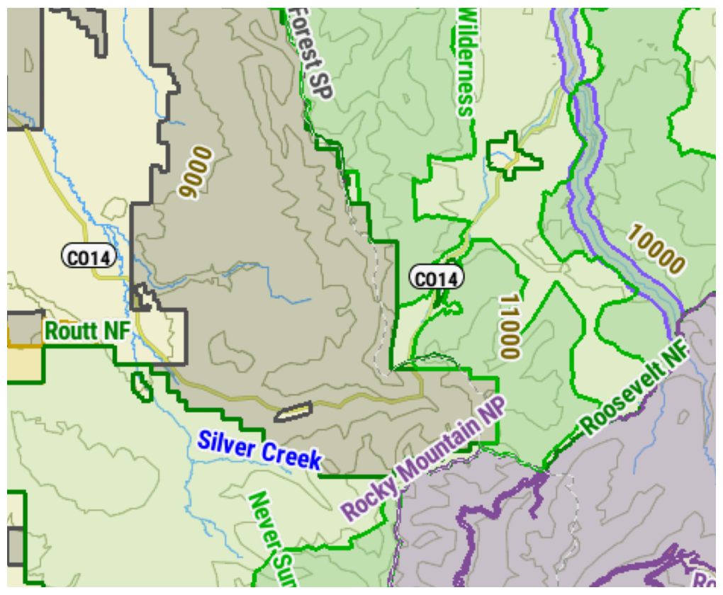
- This color-coded map overlay identifies state and
national public land boundaries, including national and
state parks, national forests, reservations, Bureau of Land
Management, WMAs, and more.
- Coverage is available for all 50 U.S. States and Canada.