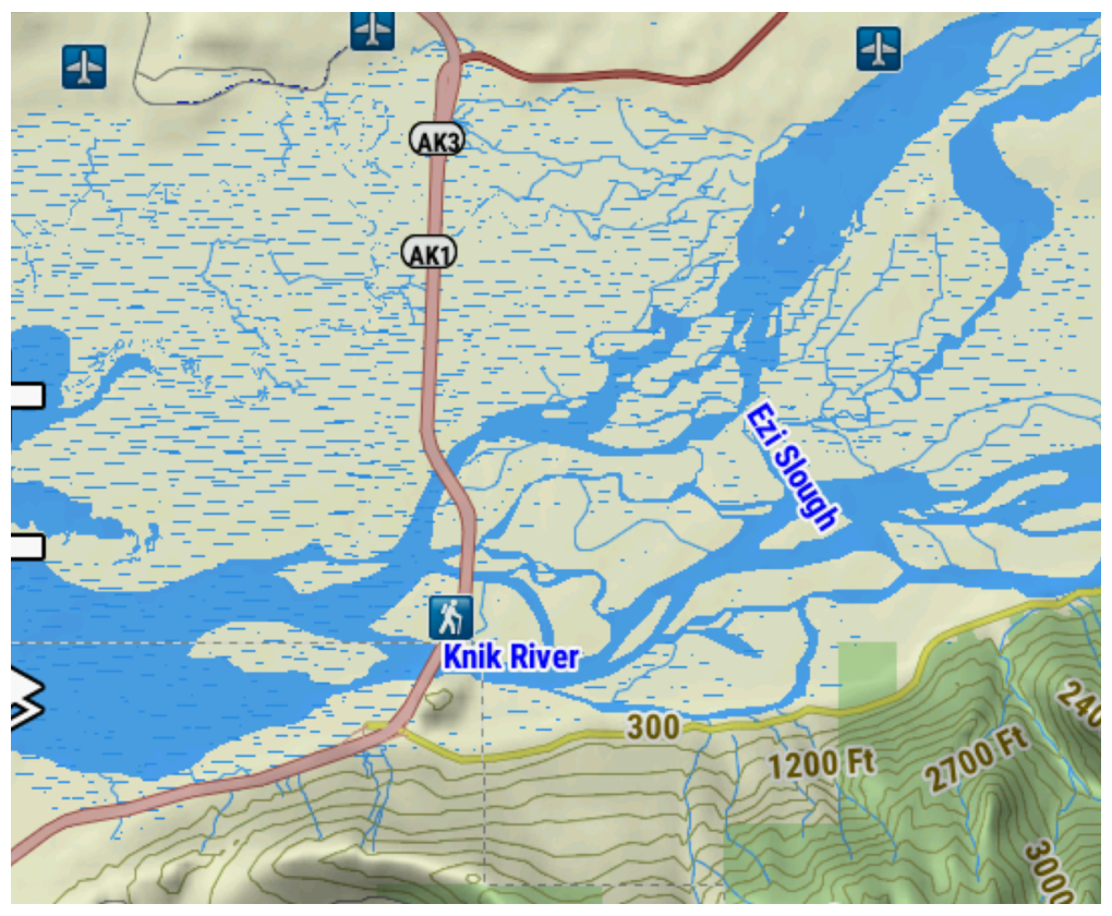
- Detailed mapping of surface water features from the
National Hydrography Dataset (NHD), including inland lakes,
rivers, streams, and wetland features.
- NOTE: This does not include depth range shading, shallow
water shading, or lake contours.
- Topo map content includes multiple layers of map information by state that can be enabled or disabled individually once downloaded. This provides more detail when compared to the TopoActive map that comes pre-loaded on compatible Garmin devices.
