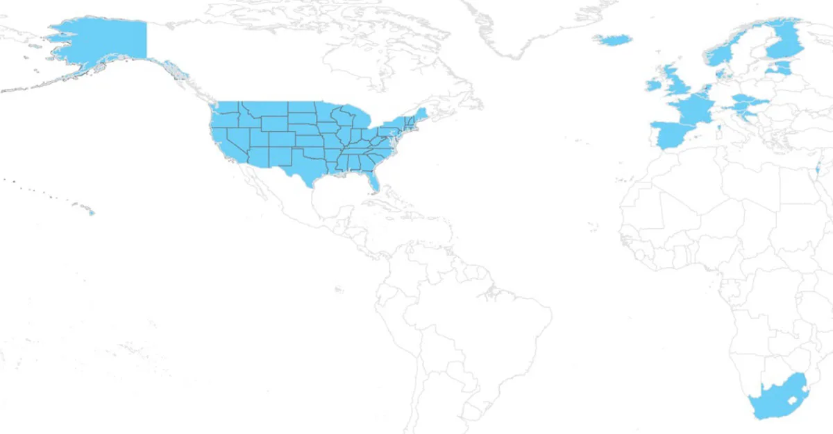
- Also known as state plat maps, these maps help to
identify landowner names and boundaries for public/private
land types.
- Coverage is available for all 50 U.S. States, Austria, Belgium, Croatia, Czechia, Denmark, Estonia, Finland, France, Great Britain, Iceland, Ireland, Israel, Latvia, Luxembourg, Netherlands, Norway, Slovakia, Slovenia, South Africa, and Spain.