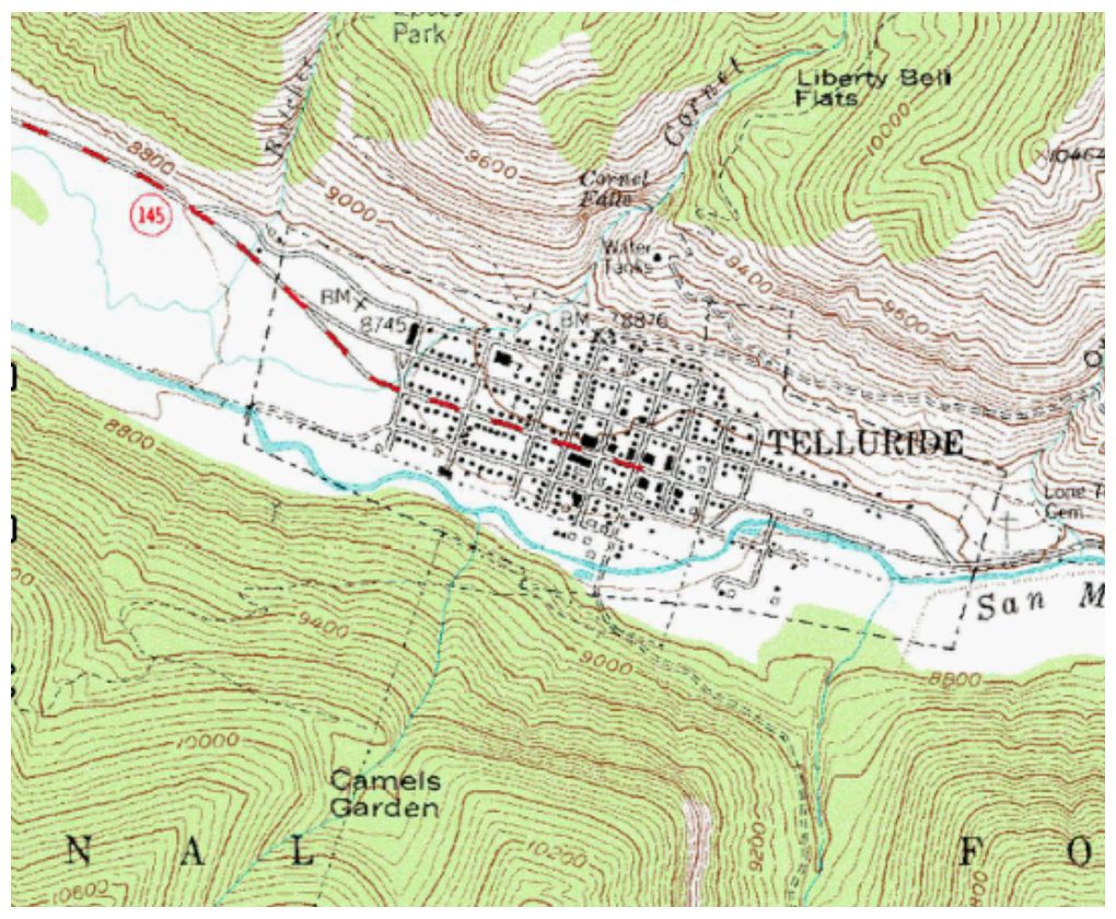
- High-quality 1:24,000 scale U.S. Geological Survey
raster maps that display terrain contours, trailheads,
camping areas, trails, points of interest, water sources,
and more.
- Coverage is available for all 50 U.S. States.
|
|
|
| Coverage |
 |