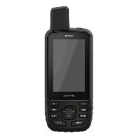
GPSMAP 67
010-02813-00
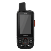
GPSMAP 67i
010-02812-00
840 hours (Expedition Mode)
425 hours (Expedition Mode with 30 minute tracking)
|
GPSMAP 67 010-02813-00 |
GPSMAP 67i 010-02812-00 |
|
| General | ||
| Unit Dimensions | 2.5” x 6.4” x 1.4” (6.2 x 16.3 x 3.5 cm) | 2.6” x 6.4” x 1.4” (6.6 x 16.3 x 3.5 cm) |
| Weight | 8.3 oz (236 g) | 8.7 oz (246 g) |
| Display Size | 1.5" x 2.5" (3.8 x 6.3 cm) | |
| Display Resolution | 240 x 400 pixels (160 ppi) | |
| Display Type | 3.0" (7.6 cm) 65K color TFT | |
| Touchscreen | No | |
| Waterproofing | IPX7 | |
| Rugged Design | MIL STD 810G | |
| Floats | No | |
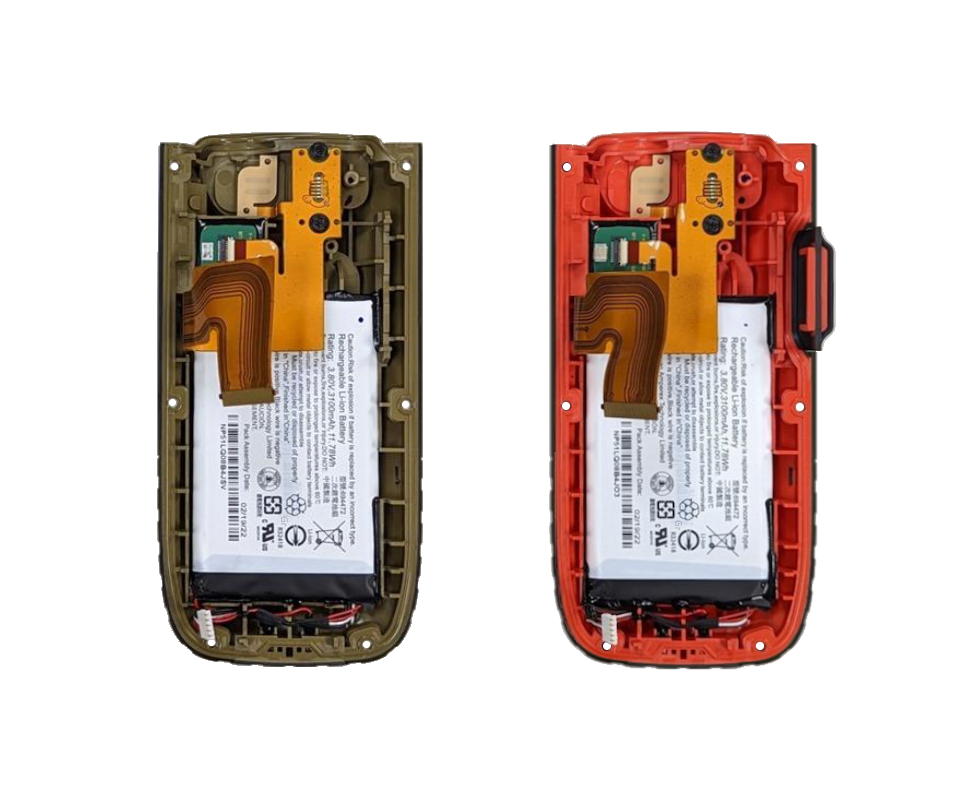
| Battery | Internal Rechargeable Lithium-ion (3.80V, 3100mAh, 11.78Wh) | |
| Battery Life |
180 hours (GPS Mode) 840 hours (Expedition Mode) |
165 hours (10 minute tracking) 425 hours (Expedition Mode with 30 minute tracking) |
| Integral Battery Charger | Yes | |
| GNSS Antenna | Quad Helix | |
| GNSS Chipset | AG3335M | |
| High Sensitivity GNSS Receiver | Yes | |
| Multi-GNSS | ||
| Multi-Band | ||
| GNSS Network | GPS (L1+L5) + Galileo (E1+E5a) + QZSS (L1+L5) + BeiDou (B1+B2a) + NavIC (L5) | |
| GLONASS (L1) | --- | |
| Iridium Modem | No | SBD |
| Interface | USB-C | |
| Operating Temperature | -4° to 113°F (-20° to 45°C) | |
| Charging Temperature | 32° to 104°F (0° to 40°C) | |
| Maps and Memory | ||
| Basemap | Yes | |
| Preloaded Map | TopoActive | |
| Outdoor Maps+ | Yes | |
| Ability to Add Maps | Yes (15,000 map segments) | |
| Garmin Custom Maps | Yes (500 custom map tiles) | |
| Garmin Satellite Imagery | Yes (direct to device download) | |
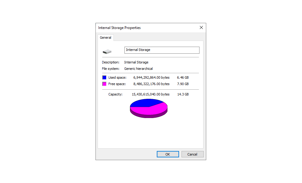
| Internal Memory | 14.3 GB | |
| Accepts Data Card | Yes (microSD, Max 32GB, Class 4 to 10) | |
| Custom POIs | Yes | |
| Waypoints | 10,000 | |
| Routes | 250 | |
| Courses | 250 | |
| Track Log | 20,000 points, 250 saved gpx tracks, 300 saved fit activities, 2,000 archive tracks | |
| Automatic Routing | Yes (with optional mapping for detailed roads) | |
| Sensors | ||
| Electric Compass | Yes (tilt-compensated 3-axis) | |
| Barometric Altimeter | Yes | |
| UV Sensor | No | |
| Microphone | ||
| Outdoor Recreational Features | ||
| Geocaching Friendly | Yes (Paperless) - load millions of geocaches manually (GPX + GGZ) or wirelessly (via Bluetooth or Wi-Fi) | |
| Outdoor GPS Games | No | |
| Flashlight | Yes | |
| Camera | No | |
| Photo Viewer | Yes | |
| Photo Navigation | ||
| Hunt/Fish Calendar | ||
| Sun/Moon Information | ||
| Area Calculation | ||
| Tide Tables | Yes (with optional Bluechart) | |
| Radio | No | |
| Multimedia | ||
| inReach | ||
| inReach SOS Rescue | No | Yes |
| inReach Tracking | ||
| inReach Weather | ||
| inReach Messaging | ||
| inReach Remote | Yes | No |
| Wireless | ||
| Garmin Connect | Yes | |
| Garmin Explore | ||
| Garmin Messenger | ||
| Smart Notifications | ||
| Live Tracking | ||
| Wireless Unit to Unit Transfer | ||
| Connect IQ Applications | ||
| Active Weather | ||
| VIRB Remote | ||
| XERO Locations | ||
| RINEX Logging | ||