
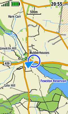
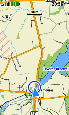
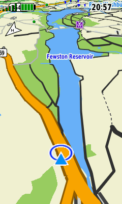
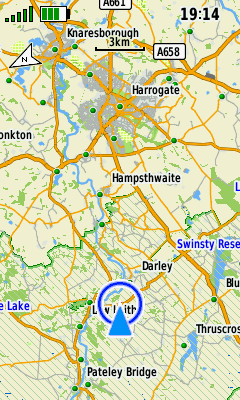
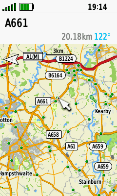
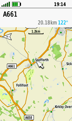
- The primary purpose of any GPSr is to locate your present position with some acceptable degree of accuracy.
- Recording this information over a period of time, the GPSr can provide useful information regarding your past journey.
- Plotting the optimum path between two locations is most efficient with access to relevant cartographic information.
- More versatile than a traditional paper version, the Map page can help you plot your future, and never needs re-folding!
- Tip: Read An Introduction to using Garmin GPSr with paper maps to learn how both can be used together.
Map Controls
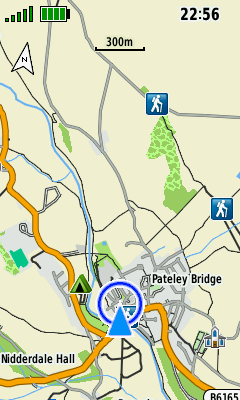
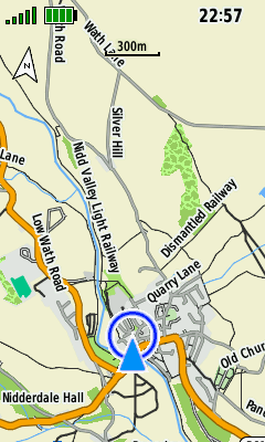
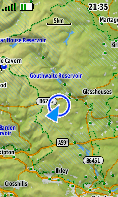
Map Orientation
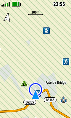
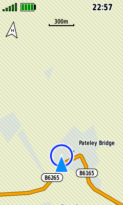
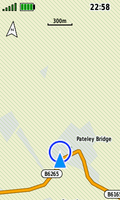
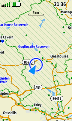
- North Up: North is always at the top of the page, similar to a paper map.
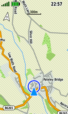
- Track Up: Your direction of travel is always toward the top of the page, and a north facing arrow is displayed.
- Automotive Mode: Similar to Track Up, but with additional 3-D map perspective.
 |
 |
 |
|
|---|---|---|---|
| North Up | Track Up | Automotive Mode |
Pan and Zoom
- Use D-PAD to enable map panning.
- Press (Quit) to exit map panning.
- Use (+) / (-) buttons to change map scale.
 |
 |
 |
 |
|---|---|---|---|
| Press D-PAD in any direction to enable map panning |
Use D-PAD to pan map to desired location |
Press (+) to zoom in | Press (-) to zoom out |
Option Menu
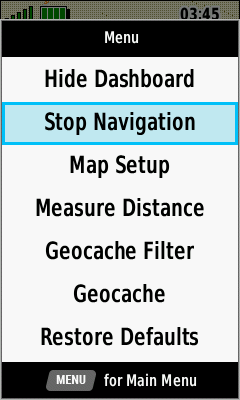
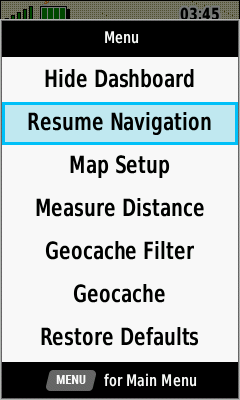
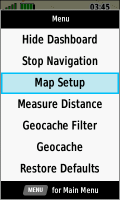
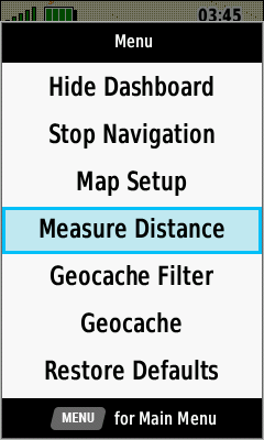
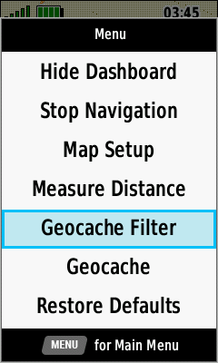
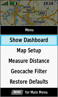
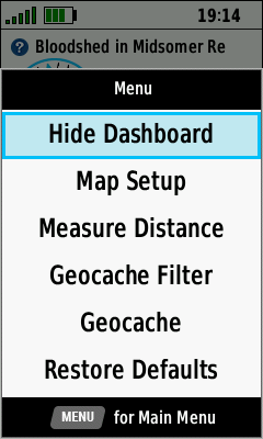
- Press (Menu) to access additional Map page options.
- Available menu selections may vary based on current activity and/or Dashboard selection.
 |
 |
 |
 |
|---|---|---|---|
| [Show Dashboard] | [Hide Dashboard] | [Stop Navigation] | [Resume Navigation] |
 |
 |
 |
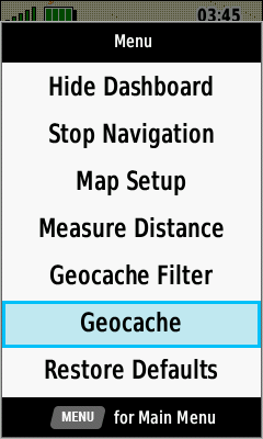 |
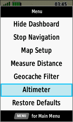
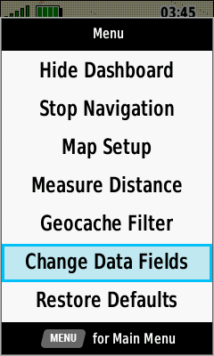
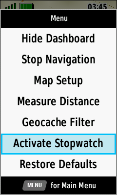
| [Map Setup] | [Measure Distance] | [Geoache Filter] | [Geocache] |
 |
 |
 |
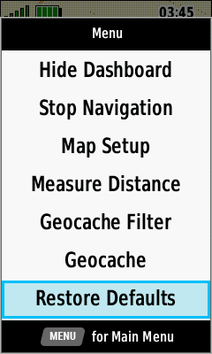 |
| [Altimeter] | [Change Data Fields] | [Activate Stopwatch] | [Restore Defaults] |
Map Information
Zoom vs Detail
- Adjust Zoom Levels to configure when individual map items will be displayed.
- Adjust Map Detail to configure the level of detail shown on the map page.
|
Least Detail |
|||
|---|---|---|---|
 |
 |
 |
 |
| Map Points | User Waypoints | Street Labels | Land Cover |
|
Normal Detail |
|||
 |
 |
 |
 |
| Map Points | User Waypoints | Street Labels | Land Cover |
|
Most Detail |
|||
 |
 |
 |
 |
| Map Points | User Waypoints | Street Labels | Land Cover |
Shaded Relief
- Shaded Relief is available only when maps containing sufficient DEM data are enabled.
 |
 |
||
|---|---|---|---|
| Enabled | Disabled |
Map Features
- View detailed information for selected map features.
- Mark/Save/Edit a new waypoint.
- Select a navigation destination.
 |
 |
 |
 |
|---|---|---|---|
| Use D-PAD and (+) / (-) to select desired feature and press (Enter) |
View available Map features for cursor position |
Select desired Map feature and press (Enter) |
View Map feature details |
 |
 |
 |
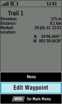 |
| (Menu) [Save as Waypoint] |
Waypoint is saved [OK] |
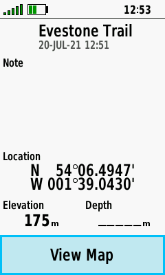
View waypoint details | (Menu) [Edit Waypoint] |
 |
 |
|
|
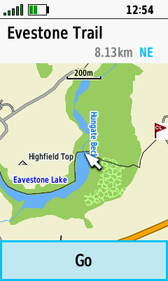
| [View Map] | [Go] to begin navigation |
Guidance Text
- When enabled, this feature displays turn by turn directions while navigating to a user selected destination.
- Open the Active Route page to view additional details for each turn along the route.
 |
 |
 |
 |
|---|---|---|---|
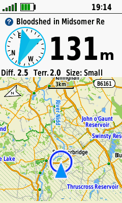
Dashboards
- View additional information without leaving the Map page.
- Show or hide an enabled dashboard when desired.
- See Dashboards for detailed information.
 |
 |
 |
 |
|---|---|---|---|
|
(Menu) [Show Dashboard] |
Dashboard is displayed |
(Menu) [Hide Dashboard] |
Dashboard is hidden |
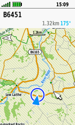
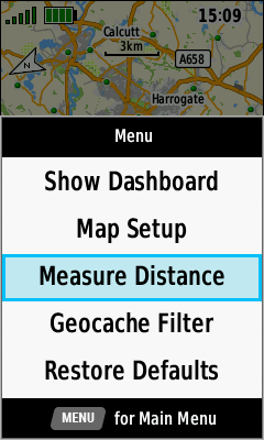
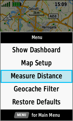
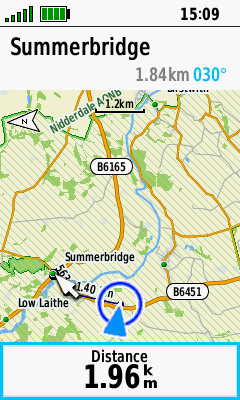
Measure Distance
- Find the distance between any two map points or along a route.
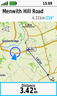
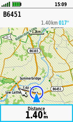
Direct
- Select any point on the map to view the direct line-of-sight distance to that location.
- Press (Quit) to exit distance measurement when complete.
 |
 |
 |
 |
|---|---|---|---|
| Use current location or pan and zoom map to select start location |
(Menu) [Measure Distance] |
Pan and zoom map toward location to be measured |
Distance to
location is updated dynamically |
Multi-Point
- Select multiple map locations in sequence to view their accumulated distance from beginning to end.
- Press (Quit) to exit distance measurement when complete.
 |
 |
 |
 |
|---|---|---|---|
| (Menu) [Measure Distance] |
Pan and zoom map to first point and press (Enter) |
Repeat for each additional point to be measured |
Total point-to-point distance is updated dynamically |
Recording Controls
- Press (Enter) to quickly access essential recording controls, and (Quit) to return to the Map page.
 |
 |
 |
 |
|---|---|---|---|
| Press (Enter) for direct access to recording controls |
[Start] a new Activity Recording |
[Stop] the current Activity Recording |
Manage the current Activity Recording |