Data Field Categories
Aviation Current Status Elevation Fitness Heading Navigation On Road Navigation Other Speed and Distance Stopwatch Items Time Trip Data |
|---|
Data Field Categories
- Data field availability is device dependent.
- Additional data fields may be available for Connect IQ equipped devices.
- Some data fields may be grouped into multiple categories to streamline the device configuration process.
- View all data fields in a single alphabetical list by selecting All Categories at the beginning of the category list.
- Read the Garmin Trail Tech Data Fields press release.
| Ambient Pressure | Barometer | Elevation Above Ground | Glide Ratio |
| Glide Ratio to Dest. | GPS Elevation | Vertical Dist. to Dest. | Vertical Dist. to Next |
| Vertical Speed | Vertical Speed to Dest. |
Elevation
Heading
Navigation
On Road Navigation
| Automotive Turn | Distance To Dest. | Elevation | ETA at Destination |
| Grade | Heading | Speed | Speed Limit |
| Time of Day | Time to Destination |
Other
| Activity Distance | Distance To Dest. | Distance To Next | Odometer |
| Speed | Speed - Maximum | Speed - Moving Avg. | Speed - Overall Avg. |
| Speed Limit | Trip Odometer | Vertical Speed |
Stopwatch Items
| Date | ETA at Destination | ETA at Next | Sunrise |
| Sunrise/Sunset | Sunset | Time of Day | Time to Destination |
| Time to Next |
Trip Data
Data Field Descriptions
| # A B C D E F G H I J K L M N O P Q R S T U V W X Y Z |
| Data Field |
Description |
Example |
|---|---|---|
24 hr. Max. Temperature |
The maximum temperature recorded in the last 24 hours from a compatible temperature sensor. | 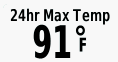 |
24 hr. Min. Temperature |
The minimum temperature recorded in the last 24 hours from a compatible temperature sensor. |  |
| The margin of error for your exact location. | 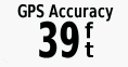 |
|
| Activity Distance | The distance traveled for the current track or activity. | 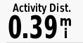 |
Alarm Timer |
The current time of the countdown timer. | 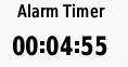 |
Ambient Pressure |
The uncalibrated ambient pressure. |  |
Ascent - Average |
The average vertical distance of ascent since the last reset. | 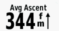 |
Ascent - Maximum |
The maximum rate of ascent in feet per minute or meters per minute since the last reset. |  |
Ascent - Total |
The total elevation distance ascended during the activity or since the last reset. |  |
Automotive Turn |
The direction of the next turn in the route. You must be navigating for this data to appear. | 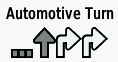 |
Average Cadence |
Cycling. The average cadence for the current activity. | 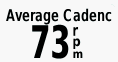 |
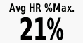
Average HR %Max. |
The average percentage of maximum heart rate for the current activity. |
 |
Average Lap |
The average lap time for the current activity. | 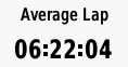 |
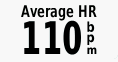
Avg. HR |
The average heart rate for the current activity. |
 |
Barometer |
The calibrated current pressure. |  |
Battery Level |
The remaining battery power. | 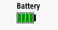 |
Bearing |
The direction from your current location to a destination. You must be navigating for this data to appear. |  |
Cadence |
Cycling. The number of revolutions of the crank arm. Your device must be connected to a cadence accessory for this data to appear. | 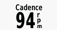 |
Calories |
The amount of total calories burned. | 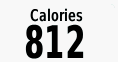 |
Compass Heading |
The direction you are moving based on the magnetic compass. |  |
Course |
The direction from your starting location to a destination. Course can be viewed as a planned or set route. You must be navigating for this data to appear. |  |
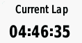
Current Lap |
The stopwatch time for the current lap. |
 |
Date |
The current day, month, and year. |  |
Depth |
The depth of the water. Your device must be connected to a NMEA 0183 device capable of acquiring the water depth. |  |
Descent - Average |
The average vertical distance of descent since the last reset. |  |
Descent - Maximum |
The maximum rate of descent in meters per minute or feet per minute since the last reset. | 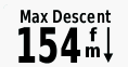 |
Descent - Total |
The total elevation distance descended during the activity or since the last reset. | 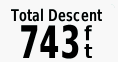 |
Distance to Dest. |
The remaining distance to the final destination. You must be navigating for this data to appear. |  |
Distance to Next |
The remaining distance to the next waypoint on the route. You must be navigating for this data to appear. |  |
Elapsed Activity Time |
The total time recorded. For example, if you start the timer and run for 10 minutes, then stop the timer for 5 minutes, then start the timer and run for 20 minutes, your elapsed time is 35 minutes. |
 |
Elevation |
The distance between the current location and mean sea level (MSL). | 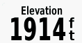 |
Elevation Above Ground |
The distance between your current location and ground level (maps must contain sufficient elevation data). | 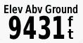 |
Elevation - Maximum |
The highest elevation reached since the last reset. |  |
Elevation - Minimum |
The lowest elevation reached since the last reset. | 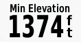 |
ETA at Destination |
The estimated time of day when you will reach the final destination (adjusted to the local time of the destination). You must be navigating for this data to appear. | 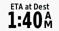 |
ETA at Next |
The estimated time of day when you will reach the next waypoint on the route (adjusted to the local time of the waypoint). You must be navigating for this data to appear. |  |
Glide Ratio |
The ratio of horizontal distance traveled to the change in vertical distance. | 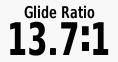 |
Glide Ratio to Dest. |
The glide ratio required to descend from your current position to the destination elevation. You must be navigating for this data to appear. | 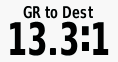 |
GPS Elevation |
The distance between the current location and mean sea level (MSL) using only GPS data. | 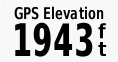 |
GPS Heading |
The direction you are moving based on GPS position history. |  |
GPS Signal Strength |
The strength of the GPS satellite signal. | 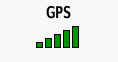 |
Grade |
The calculation of rise (elevation) over run (distance). For example, if you climb 3 m (10 ft.) for every 60 m (200 ft.) you travel, the grade is 5%. |  |
Heading |
The direction you are moving. |  |
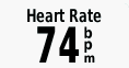
Heart Rate |
Your heart rate in beats per minute (bpm). Your device must be connected to a compatible heart rate monitor. |
 |
Heart Rate - %Max. |
The percentage of maximum heart rate. |  |
Heart Rate Zone |
The performance zone of your current heart rate (1 to 5). The default zones are based on your user profile and maximum heart rate (220 minus your age). | 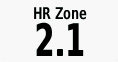 |
Lap Ascent |
The vertical distance of ascent for the current lap. | 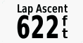 |
Lap Cadence |
Cycling. The average cadence for the current lap. | 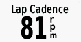 |
Lap Descent |
The vertical distance of descent for the current lap. |  |
Lap Distance |
The distance traveled for the current lap. |  |
Lap HR |
The average heart rate for the current lap. |  |
Lap Heart Rate Percent |
The average percentage of maximum heart rate for the current lap. |  |
Lap Speed |
The average speed for the current lap. |  |
Laps |
The number of laps completed for the current activity. |  |
Last Lap Ascent |
The vertical distance of ascent for the last completed lap. |  |
Last Lap Cadence |
Cycling. The average cadence for the last completed lap. |  |
Last Lap Descent |
The vertical distance of descent for the last completed lap. |  |
Last Lap Distance |
The distance traveled for the last completed lap. |  |
Last Lap HR |
The average heart rate for the last completed lap. |  |
Last Lap Speed |
The average speed for the last completed lap. | 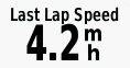 |
Last Lap Time |
The stopwatch time for the last completed lap. | 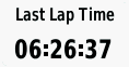 |
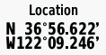
Location (lat/lon) |
The current position in latitude and longitude, regardless of the selected position format setting. |
 |
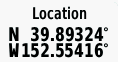
Location (selected) |
The current position using the selected position format setting. |
 |
Location of Dest. |
The position of your final destination. You must be navigating for this data to appear. |
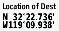 |
None |
This is a blank data field. |  |
Odometer |
A running tally of the distance traveled for all trips. This total does not clear when resetting the trip data. |  |
Off Course |
The distance to the left or right by which you have strayed from the original path of travel. You must be navigating for this data to appear. |  |
Pointer |
An arrow points in the direction of the next waypoint or turn. You must be navigating for this data to appear. |  |
Speed |
The current rate of travel. |  |
Speed - Maximum |
The highest speed reached since the last reset. | 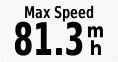 |
Speed - Moving Avg. |
The average speed while moving since the last reset. | 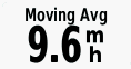 |
Speed - Overall Avg. |
The average speed while moving and stopped since the last reset. |  |
Speed Limit |
The reported speed limit for the road. Not available in all maps and in all areas. Always rely on posted road signs for actual speed limits. |  |
Stopwatch Timer |
The stopwatch time for the current activity. | 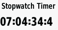 |
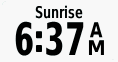
Sunrise |
The time of the next sunrise for the current device GPS position. |  |
Sunrise/Sunset |
The time of the next sunrise or sunset for the current device GPS position. |
 |
Sunset |
The time of the next sunset for the current device GPS position. |  |
Temperature |
The temperature of the air. Your body temperature affects the temperature sensor. Your device must be connected to a tempe� sensor for this data to appear. |  |
Temperature - Water |
The temperature of the water. Your device must be connected to a NMEA 0183 device capable of acquiring the water temperature. |  |
Time of Day |
The time of day based on your current location and time settings (format, time zone, daylight saving time). | 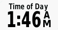 |
Time to Destination |
The estimated time remaining before you reach the destination. You must be navigating for this data to appear. |  |
Time to Next |
The estimated time remaining before you reach the next waypoint in the route. You must be navigating for this data to appear. |  |
To Course |
The direction in which you must move to get back on the route. You must be navigating for this data to appear. |  |
Total Lap |
The stopwatch time for all the completed laps. |  |
Trip Odometer |
A running tally of the distance traveled since the last reset. | 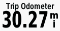 |
Trip Time |
A running tally of the total time spent moving and not moving since the last reset. | 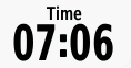 |
Trip Time - Moving |
A running tally of the time spent moving since the last reset. | 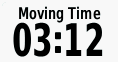 |
Trip Time - Stopped |
A running tally of the time spent not moving since the last reset. | 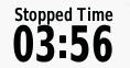 |
Turn |
The angle of difference (in degrees) between the bearing to your destination and your current course. L means turn left. R means turn right. You must be navigating for this data to appear. | 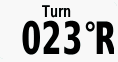 |
Velocity Made Good |
The speed at which you are closing on a destination along a route. You must be navigating for this data to appear. |  |
Vertical Dist. to Dest. |
The elevation distance between your current position and the final destination. You must be navigating for this data to appear. | 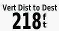 |
Vertical Dist. to Next. |
The elevation distance between your current position and the next waypoint in the route. You must be navigating for this data to appear. |  |
Vertical Speed |
The rate of ascent or descent over time. | 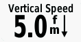 |
Vertical Speed to Dest. |
The rate of ascent or descent to a predetermined altitude. You must be navigating for this data to appear. |  |
Waypoint at Dest. |
The last point on the route to the destination. You must be navigating for this data to appear. |  |
Waypoint at Next |
The next point on the route. You must be navigating for this data to appear. |  |