
 |
|
 |
|---|---|---|
 |
 |
 |
 |
 |
 |
 |
 |
 |
 |
 |
 |
|
|---|---|---|---|
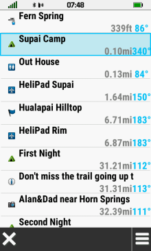
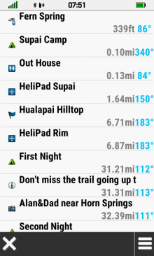
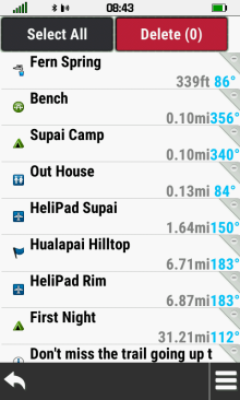
| Scroll list to view available waypoints |
 Search Options |
Select desired waypoint |
 |
 |
 |
|
|---|---|---|---|
[Spell Search] |
Enter search term |
Waypoints with search term listed by proximity |
 |
 |
 |
|
|---|---|---|---|
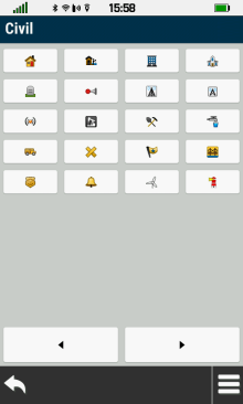
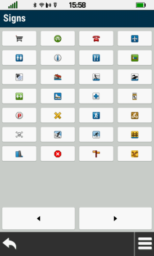
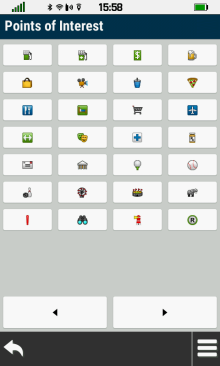
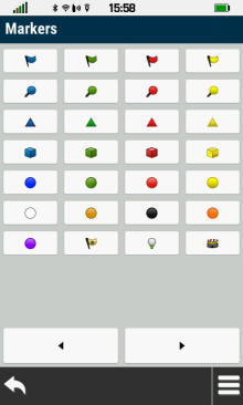
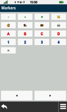
[Select Symbol] |
Choose desired symbol |
Waypoints with selected symbol listed by proximity |
 |
 |
||
|---|---|---|---|
[Search Near] |
Choose from available Search Near options |
 |
 |
 |
|
|---|---|---|---|
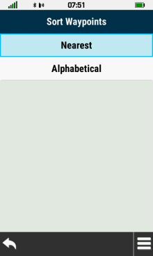
[Sort] |
Select [Nearest] |
Waypoints are listed by proximity |
|
 |
 |
 |
|
| Select [Alphabetical] |
Waypoints are listed alphabetically |
||
 |
 |
 |
 |
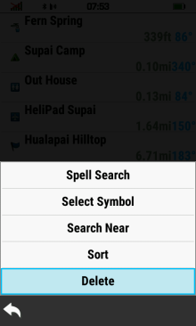
[Find In List] |
[Select Symbol] |
[Sort] |
[Delete] |
 |
 |
 |
 |
|---|---|---|---|
|
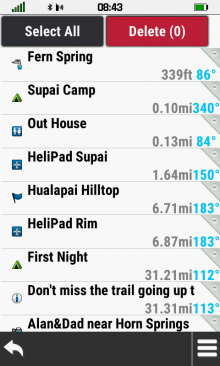
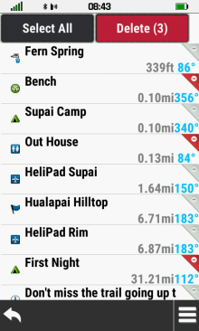
[Delete] |
Waypoint List |
Select Waypoint to delete |
Waypoint marked for deletion |
 |
 |
 |
 |
| Repeat as needed |
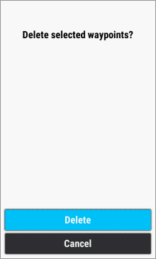
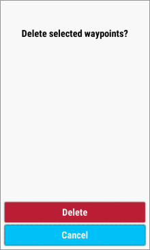
Select [Delete] |
Select [Delete] to proceed |
Select [Cancel] to abort |
 |
 |
 |
 |
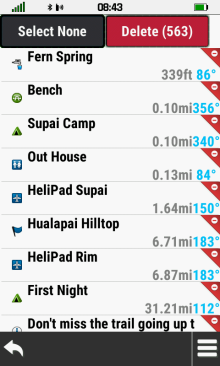
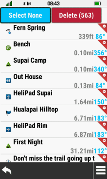
| [Select All] |
Marks all waypoints for deletion |
[Select None] |
Clears all waypoints marked for deletion |
 |
 |
 |
 |
|---|---|---|---|
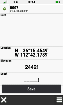
| [Select Waypoint] |
Select waypoint symbol |
Choose
desired symbol |
Waypoint symbol updated |
 |
 |
 |
 |
|---|---|---|---|
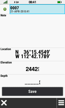
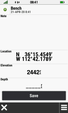
| [Select Waypoint] |
Select waypoint name |
Enter new name |
Waypoint name updated |
 |
 |
 |
 |
|---|---|---|---|
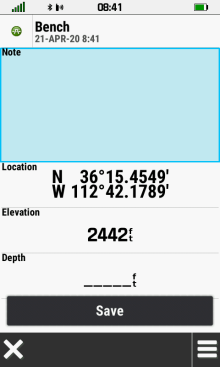
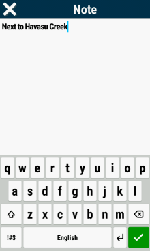
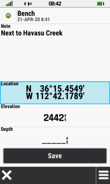
| [Select Waypoint] |
Select waypoint note |
Enter desired text |
Waypoint note updated |
 |
 |
 |
 |
|---|---|---|---|
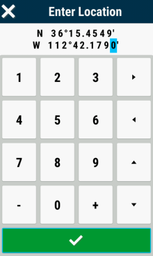
| [Select Waypoint] |
Select waypoint location |
Edit Coordinates |
Waypoint location updated |
 |
 |
 |
 |
|---|---|---|---|
| [Select Waypoint] |
Select waypoint elevation |
Enter elevation value |
Waypoint elevation updated |
 |
 |
 |
 |
|---|---|---|---|
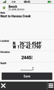
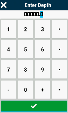
| [Select Waypoint] | Select waypoint depth |
Enter depth value |
Waypoint depth updated |
 |
 |
 |
 |
|---|---|---|---|
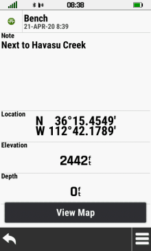
| [Select Waypoint] |
Select [View Map] |
Select [Info Box] |
Waypoint details are displayed |
 |
 |
 |
 |
|---|---|---|---|
| [Delete] |
Delete confirmation |
Select [Delete] to proceed |
Select [Cancel] to abort |
 |
 |
 |
 |
|---|---|---|---|
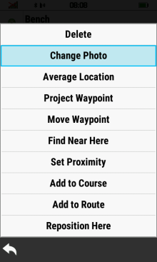
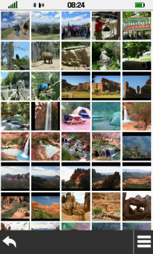
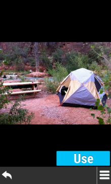
| [Change Photo] |
Select desired photo |
Select [Use] |
Waypoint displayed using selected photo |
 |
 |
 |
 |
|---|---|---|---|
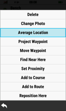
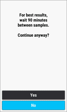
| [Average Location] |
Press [Start] to begin |
Select [Yes] to proceed |
Select [No] to abort |
 |
 |
 |
|
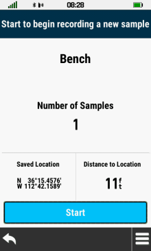
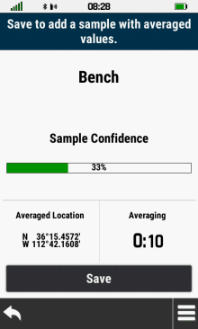
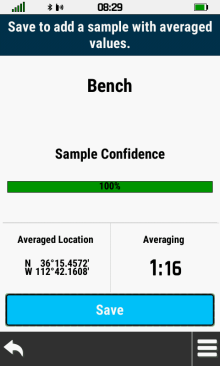
| Confidence level will fluctuate during sampling process |
[Save] sample when confidence level value is acceptable |
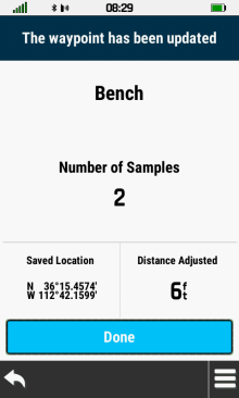
Waypoint coordinates and sample count are updated [Done] |
 |
 |
 |
 |
|---|---|---|---|
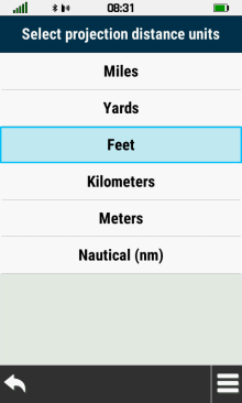
| [Project Waypoint] |
Enter bearing |
Select distance units |
Enter distance |
 |
 |
 |
 |
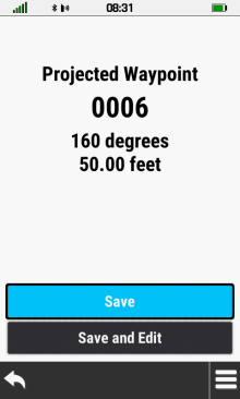
| Select [Save] to return to waypoint list |
Select [Save and Edit] to view projected waypoint |
Projected waypoint details |
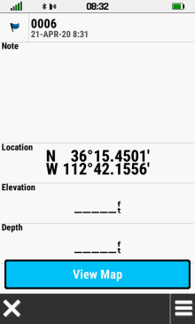
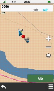
Projected waypoint map |
 |
 |
 |
 |
|---|---|---|---|
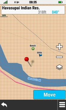
| [Move Waypoint] |
Current waypoint
position |
Move red pin
to new location and select [Move] |
Waypoint location is
updated |
 |
 |
 |
|
|---|---|---|---|
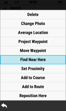
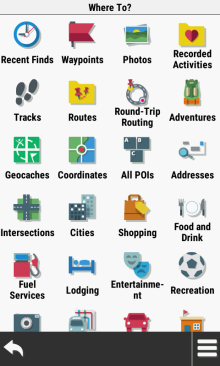
| [Find Near Here] |
Choose from available 'Where To?' options |
||
 |
 |
 |
 |
|---|---|---|---|
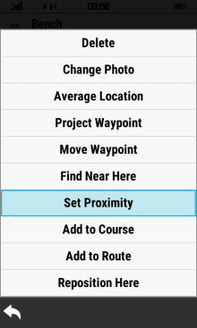
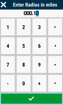
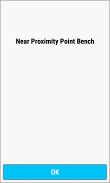
| [Set Proximity] |
Enter desired radius |
Proximity ring displayed around waypoint |
Proximity alert displayed near waypoint |
 |
 |
 |
|
|---|---|---|---|
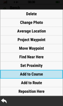
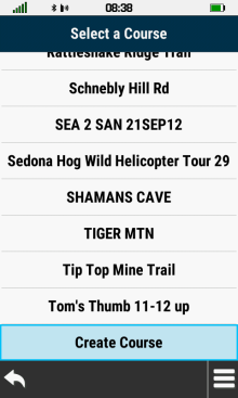
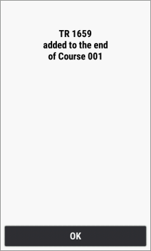
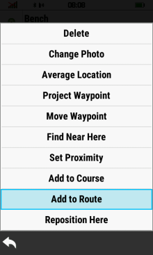
| [Add to Course] |
Select desired course, or create a new course |
Waypoint successfully added to selected course |
 |
 |
 |
|
|---|---|---|---|
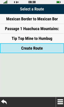
| [Add to Route] |
Select desired route, or create a new route |
Waypoint successfully added to selected route |
 |
 |
 |
 |
|---|---|---|---|
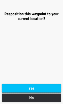
| [Reposition Here] | [Yes] | Original waypoint location | Waypoint location
updated to current GPSr position |