 |
|
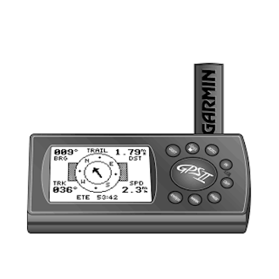
Mount it on your boat, ATV, personal watercraft, or bicycle. Take it off for a little land exploration. Then pop it on the optional dash mount of your car in the horizontal position for satellite navigation all the way home.
The GPS II's innovative ways don't stop at versatility. It also sports an impressive list of nav features - including user-selectable fields for trip odometer, average and maximum speed, and elapsed and trip timers, along with compass and highway pages. There is also moving map plotting with dedicated zoom keys, room for 250 waypoints and 20 routes, and TracBack breadcrumb navigation.
- All device settings will be restored to their factory default configuration
- All user data (waypoints, routes, tracks) will be cleared from the device
- Satellite constellation data will be cleared from the device
- Press and hold the MARK button
- Power the device on while continuing to hold the MARK button
- Release the MARK button once the device has powered up completely
- Place the device outside with a clear view of the sky for a minimum of 20 minutes to acquire satellite constellation data
- Occasionally, satellite data can become obsolete or corrupt preventing your device from acquiring a satellite lock.
- Performing an AutoLocate on your device removes all satellite data and allows it to re-establish a proper connection with the satellites.
- The steps below will walk you through this process.
- Turn the GPS off
- Press and hold the PAGE and POWER buttons simultaneously
- Release the buttons once the device powers on
- Place the device outside with a clear view of the sky for a minimum of 20 minutes to acquire satellite constellation data
- TIP: Leaving the GPS device in a stationary position should reduce the time needed to locate satellites
- Not Field Servicable
