- Save and View contact information received from other Rino radio users.
- The New Contact page will appear the first time your Rino receives a peer-to-peer positioning signal from another Rino user.
- To navigate to and/or view contact information in the future, the contact must first be saved to the Contacts list.
- You can access the Contacts list directly from
the Radio page by selecting the
Contacts icon (
 ).
). - Quickly view individual Contact locations on the Map page with the Contacts dashboard.
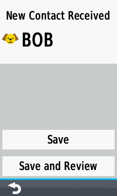
New Contact
- Displayed when a radio transmission is received from another Rino contact not already in your contact list.
 |
 |
 |
 |
||||
|---|---|---|---|---|---|---|---|
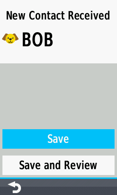
| New Contact Received | Save Contact and return to previous page |
Save Contact and view Contact details |
Contact information is displayed |
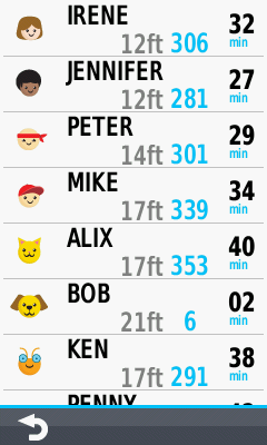
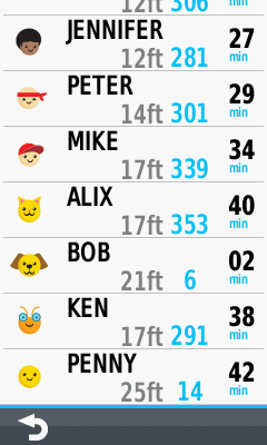
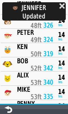
View Contact
- View the last received details for each Contact saved to your device.
- User name and icon, distance and bearing from your position, and elapsed time since last update are displayed.
- Select desired contact to access additional contact options and information.
 |
 |
 |
 |
||||
|---|---|---|---|---|---|---|---|
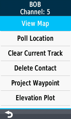
| Contact list is displayed | Scroll to view all Contacts | Select desired Contact | Contact menu is displayed |
View Map
- View last reported contact location on Map page.
 |
 |
 |
 |
||||
|---|---|---|---|---|---|---|---|
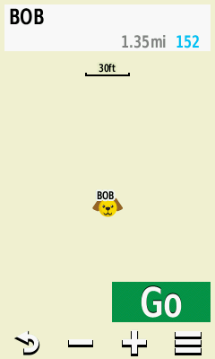
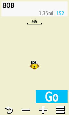
| Select View Map | Contact location is displayed on Map |
Select [Go] to begin navigation to Contact |
Select [Contact] to view detailed information |
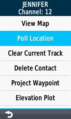
Poll Location
- Update location information for selected contact.
 |
 |
 |
 |
||||
|---|---|---|---|---|---|---|---|
| Select Poll Location | Contact location update is requested |
Contact location update is received |
Contact list displays updated information |
Clear Current Track
- Clear the tracklog displayed on your device for the selected contact.
|
|
|
|
|
||||
|---|---|---|---|---|---|---|---|
| Select Clear Current Track | Confirmation menu is displayed |
Clear Contact tracklog on your device |
Cancel selection |
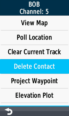
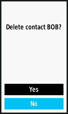
Delete Contact
- Remove selected contact from the contact list.
 |
 |
 |
 |
||||
|---|---|---|---|---|---|---|---|
| Select Delete Contact | Confirmation menu is displayed |
Delete Contact from your device |
Cancel selection |
Project Waypoint
- Project a waypoint from the reported position for the selected contact.
 |
 |
 |
 |
||||
|---|---|---|---|---|---|---|---|
| Select Project Waypoint | Enter desired bearing | Select projection units | Enter desired distance | ||||
 |
 |
 |
 |
||||
| Waypoint is projected | Save and Edit Waypoint properties |
Save waypoint as presented |
Projected waypoint as displayed on Map page |
Elevation Plot
- View the most recently reported elevation plot for the selected contact.
 |
 |
 |
 |
||||
|---|---|---|---|---|---|---|---|
| Select Elevation Plot | Elevation Plot is displayed for the selected Contact |
Pan and Zoom Elevation Plot as desired | |||||