
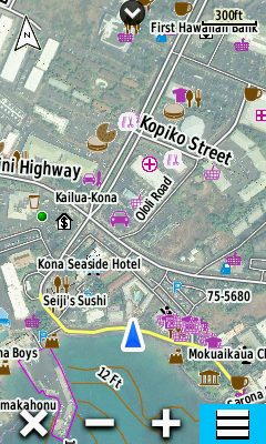
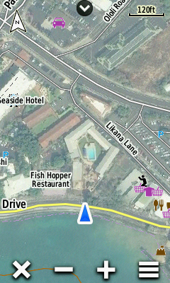
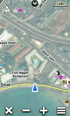
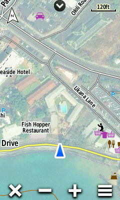
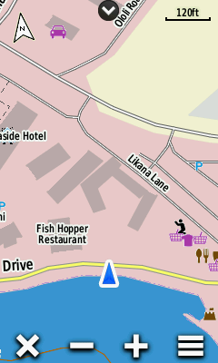
Garmin BirdsEye maps supplement the comprehensive topographic and/or detailed street maps on your Garmin
Oregon 6x0 with brilliant high-resolution satellite images or highly-detailed raster maps.
Transferring BirdsEye high-resolution imagery to an Oregon 6x0
provides real-life views of roads, buildings and terrain, giving you a true representation of your surroundings. These images can be layered with existing Garmin and third-party vector maps installed on your
Garmin GPSr.
See the Garmin BirdsEye Tutorial to learn about creating and transferring Birdseye maps to your Oregon 6x0 GPSr!
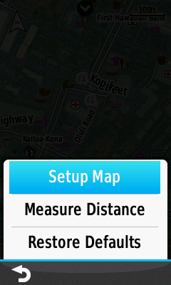
Map Configuration Menu
| via Map Application |
||||||
|---|---|---|---|---|---|---|
 |
 |
 |
||||
| Select [Menu] |
Select [Setup Map] |
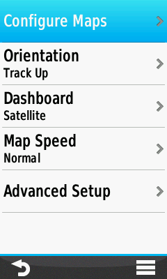
Select [Configure Maps] |
||||
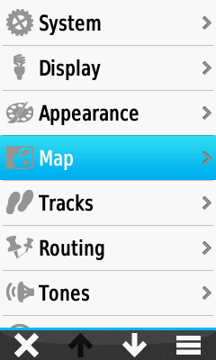
| via Setup Menu |
||||||
 |
 |
|
||||
| Select [Setup] |
Select [Map] |
Select [Configure Maps] |
Enable BirdsEye Maps
 |
 |
 |
||||||
|---|---|---|---|---|---|---|---|---|
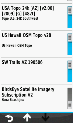
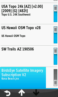
| Access
Map Configuration Menu and scroll to [BirdsEye] |
Select [BirdsEye] |
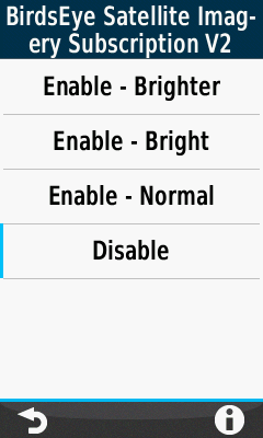
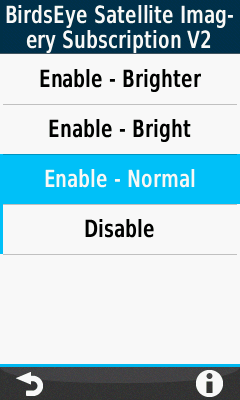
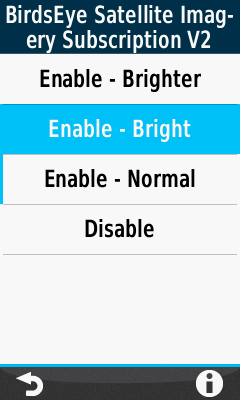
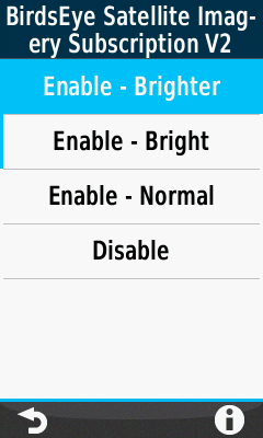
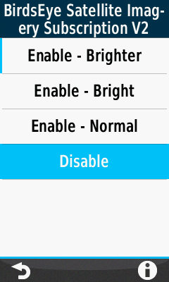
BirdEye Menu Options |
||||||
 |
 |
 |
 |
|||||
| Select [Enable - Normal] |
Select [Enable - Bright] |
Select [Enable - Brighter] |
Select [Disable] |
|||||
 |
 |
 |
 |
Disable BirdsEye Maps
 |
 |
 |
||||
|---|---|---|---|---|---|---|
| Access
Map Configuration Menu and scroll to [BirdsEye] |
Select [BirdsEye] |
Select [Disable] |