Features - GPSMAP 66sr
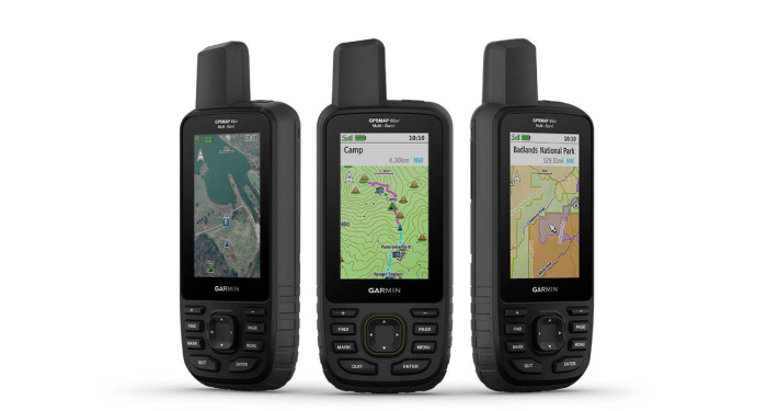
NAVIGATE YOUR NEXT
ADVENTURE
- Whether you’re hiking,
hunting, climbing, geocaching, kayaking or mountain
biking, explore more by using this premium, rugged
handheld with a 3” color display, preloaded maps and
multiple frequencies for our most accurate position
to date.
- No squinting necessary
with this large, sunlight-readable color display.
- Multi-band technology
and expanded GNSS satellite support guide the way in
challenging locations.
- Maps as pretty as a
picture and just as detailed without a subscription.
- See the peaks and
valleys clearly with TopoActive maps for the U.S.
and Canada.
- Having Active Weather
is like having your own personal weather forecaster
on your journey.
- Explore more with up
to 36 hours of battery life in GPS mode and up to
450 hours in Expedition mode.
EXPANDED GNSS SUPPORT
-
Access multiple global navigation satellite systems
(GPS, GLONASS, GALILEO and QZSS) to track in more
challenging environments.
MULTI-BAND FREQUENCY SUPPORT
- Receive and utilize multiple
frequencies sent by navigation satellites which
enables improved user position accuracy,
specifically in areas where GNSS signals are
reflected, weak or typically do not penetrate.
- Get superior accuracy
using state of the art technology, previously
only available to the military..
ABC SENSORS
- Navigate every trail with ABC sensors, including an
altimeter for elevation data, barometer to monitor
weather and 3-axis electronic compass.
BIRDSEYE SATELLITE IMAGERY
- Download high-resolution photo-realistic maps
directly to your device without an annual
subscription.
- Easily find trails, pick stand
locations, find parking, create waypoints and more.
PRELOADED TOPO MAPS
- Preloaded TopoActive maps show you
terrain contours, topographic elevations, summits,
parks, coastlines, rivers, lakes and geographical
points.
PUBLIC LAND BOUNDARIES
- Optional display of federal public land
boundaries on topographical maps helps you know that
you’re venturing where you’re supposed to be.
ACTIVE WEATHER
- When paired with your
compatible smartphone, you
can get real-time forecast information and live
weather radar, so you’re always aware of the surrounding
conditions.
WIKILOC TRAILS
- This preloaded app lets you
easily download hiking, cycling and other Wikiloc
trails shared by outdoor enthusiasts like you. Get a
free 60-day Wikiloc Premium trial to try this and
other exclusive features.
BUILT FOR ADVENTURE
- This handheld is built to military standards for
thermal, shock and water performance (MIL-STD-810),
and it’s even compatible with night vision goggles.
LED FLASHLIGHT
- The GPSMAP 66 series helps you keep gear to a
minimum with a built-in LED flashlight that can be
used as a beacon to signal for help.
GEOCACHING
- Get automatic cache updates from Geocaching
Live, including descriptions, logs and hints.
- When
connected via Wi-Fi technology or to the Garmin
Connect app, each find will upload to your
Geocaching.com profile.
GARMIN EXPLORE APP
- Plan, review and sync waypoints, routes and
tracks by using the Garmin Explore app and website.
- You can even review completed activities while still
in the field.
BATTERY LIFE
- Internal Lithium-ion rechargeable battery
provides up to 36 hours of battery life in GPS mode
and up to 3 weeks in Expedition mode.

