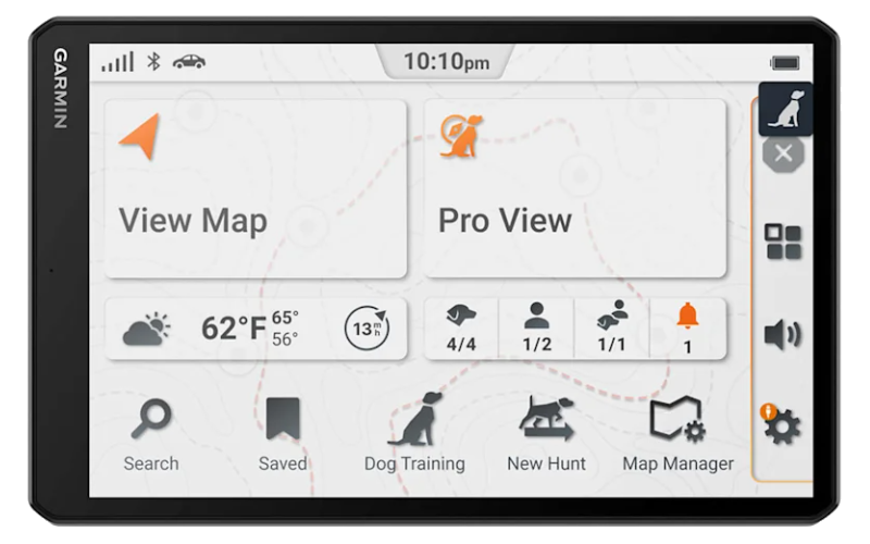
Alpha XL Dog Tracking Navigator
010-03394-00
Head Unit: 19.5 oz (554 g)
Combined: 28.5 oz (806 g)
Channel 2: 151.88 MHz
Channel 3: 151.94 MHz
Channel 4: 154.57 MHz
Channel 5: 154.60 MHz
|
Alpha XL Dog Tracking Navigator 010-03394-00 |
|
| General | |
| Unit Dimensions | 9.65” x 6.06” x 0.83” (24.5 x 15.4 x 2.1 cm) |
| Weight |
Radio Mount: 9.0 oz (252 g) Head Unit: 19.5 oz (554 g) Combined: 28.5 oz (806 g) |
| Display Size | 8.5" x 5.3" (21.6 x 13.5 cm) |
| Display Resolution | 1280 x 800 pixels |
| Display Type | 10.1" (25.7 cm) wide view IPS, color TFT, on-lens capacitive touch panel |
| Dual Orientation Display | Yes |
| Touchscreen | |
| Floats | No |
| Battery | Internal Rechargeable Lithium-ion |
| Battery Life | up to 2 hours |
| Power Input | 12 to 24 VDC |
| Operating Temperature | -4° to 131°F (-20° to 55°C) |
| Charging Temperature | 32° to 113°F (0° to 45°C) |
| Magnetic Mount | Yes |
| GPS Antenna | Internal Patch |
| GPS Chipset | - |
| High Sensitivity GPS Receiver | Yes |
| Multi-GNSS | |
| Multi-Band | No |
| GNSS Network | GPS + Galileo |
| Interface | USB-C |
| Memory | |
| Internal Memory | 64 GB |
| Accepts Data Card | Yes (microSD, Max 256 GB, Class 2 to 10) |
| Custom POIs | Yes |
| Waypoints | 10,000 |
| Routes | ∞ |
| Tracking | up to 20 assets (any combination of compatible dog devices and handhelds) |
| Track Logs | 2,000 |
| Stored Contacts | 250 Dogs |
| Maps | |
| Preloaded Maps | Street Maps |
| Topographical Maps | |
| US Public Land Boundaries | |
| Private Land Parcel Maps | |
| USFS Roads and Trails | |
| MVUM Maps for Motorcycle, ATV, SxS and Full Size 4x4 | |
| Outdoor Maps+ | Yes |
| Ability to Add Maps | |
| Garmin Custom Maps | 400 |
| Garmin BirdsEye Maps | 1,000 |
| Sensors | |
| Electric Compass | Yes |
| Barometric Altimeter | |
| UV Sensor | No |
| Microphone | |
| Outdoor Recreation Features | |
| Point-To-Point Navigation | |
| Navigate-A-Track Navigation | |
| Turn-By-Turn Trail Navigation | |
| Navigation Features | |
| Garmin Real Directions Landmark Guidance | |
| TripAdvisor Traveler Ratings | |
| Route Shaping Through Preferred Cities/Streets | |
| Traffic Information | |
| Lane Assist With Junction View | |
| Speed Limit Indicator | |
| Driver Alerts for Sharp Curves, School Zones, Red Light and Speed Cameras, and More | |
| Adventure Features | |
| Pair with Compatible inReach Devices | |
| Track Recorder (Breadcrumb Trail) | |
| IOverlander Points of Interest | |
| Ultimate Public Campgrounds | |
| Pitch and Roll Gauges | |
| BirdsEye Satellite Imagery | |
| Motorcycle Features | |
| Garmin Adventerous Routing | |
| Track Support | |
| Custom Map Support | |
| Wireless ANT+ Technology | |
| Dog Tracking Features | |
| Dynamic Update | |
| Group Management | |
| Pro View Compass | |
| Channel View | |
| Hunt Metrics | |
| Stimulation, Tone and Vibration | |
| Wireless | |
| Camera Support | BC 50 |
| Bluetooth Calling | Yes |
| Wi-Fi Updates | |
| Garmin Alpha App | Yes |
| Smart Notifications | |
| Connect IQ Applications | No |
| Live Weather | Yes |
| Dog Tracking | |
| inReach Remote | |
| Dog Tracking Radio | |
| FCC License Required | No |
| Radio Frequency Band | MURS (151-154 MHz) |
| Channels |
Channel 1: 151.82 MHz Channel 2: 151.88 MHz Channel 3: 151.94 MHz Channel 4: 154.57 MHz Channel 5: 154.60 MHz |
| Transmit Power | 2.0 watts |
| Range | 9 miles (TT and T Series), 4 miles (TT mini and T mini Series) |
| Update Rate | 2.5 seconds |